
Automatic detection of road defects is one of the most studied problems in computer vision applied to infrastructure. RoadAnalyzer combines convolutional neural networks, semantic segmentation models and tracking techniques to turn a video into a report on pavement condition.
From pixel to defect
Each frame is processed by an object detection model trained on datasets labelled by road engineers. The model is designed to recognise potholes, longitudinal cracks, alligator cracks, patches and edge deterioration.
Geolocation
By combining GPS data with each frame timestamp, every detection is placed on the map to support targeted maintenance planning.
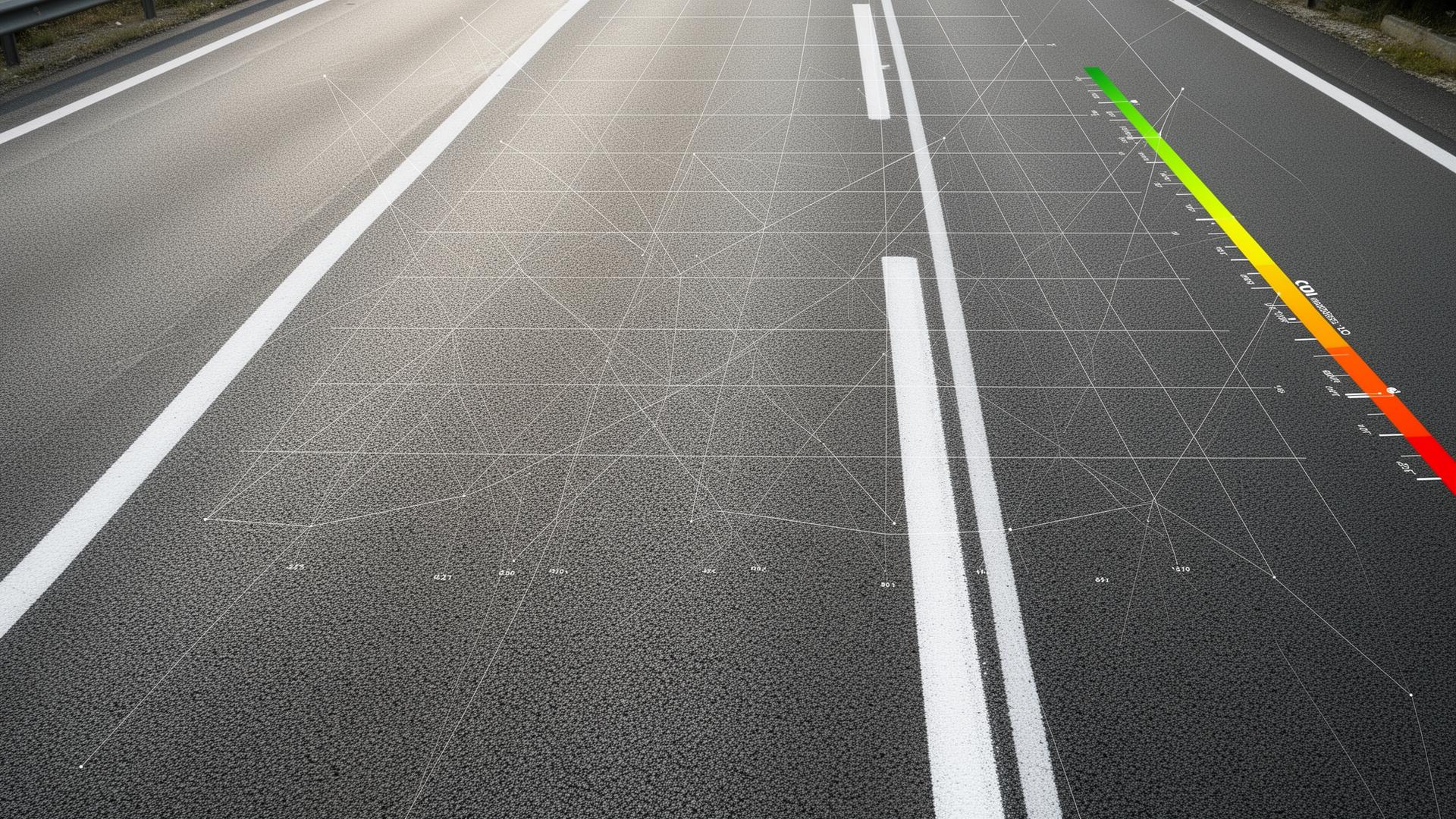
PCI computation
Detections are aggregated into segments and used as input for computing the Pavement Condition Index, following the ASTM D6433 methodology.
The goal is to make this kind of analysis accessible with just a smartphone, where it historically required much more complex equipment.